
Mapa topográfico Miller Water Table
Mapa interativo
Clique no mapa para exibir a altitude.
Sobre este mapa
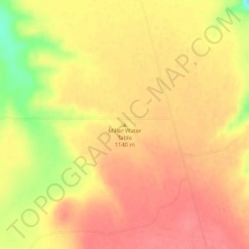
Nome: Mapa topográfico Miller Water Table, altitude, relevo.
Local: Miller Water Table, Owyhee County, Idaho, United States (42.65013 -115.73652 42.65023 -115.73642)
Altitude média: 1140 m
Altitude mínima: 1094 m
Altitude máxima: 1159 m
Outros mapas topográficos
Clique em um mapa para visualizar sua topografia, sua altitude e seu relevo.
Homedale
United States > Idaho > Owyhee County
Homedale, Owyhee County, Idaho, 83628, United States
Altitude média: 683 m
Marsing
United States > Idaho > Owyhee County
Marsing, Owyhee County, Idaho, United States
Altitude média: 694 m
Sinker Butte
United States > Idaho > Owyhee County
Sinker Butte, Owyhee County, Idaho, United States
Altitude média: 892 m
Grand View
United States > Idaho > Owyhee County
Grand View, Owyhee County, Idaho, United States
Altitude média: 737 m