
Mapa topográfico Gilbertsville
Mapa interativo
Clique no mapa para exibir a altitude.
Sobre este mapa
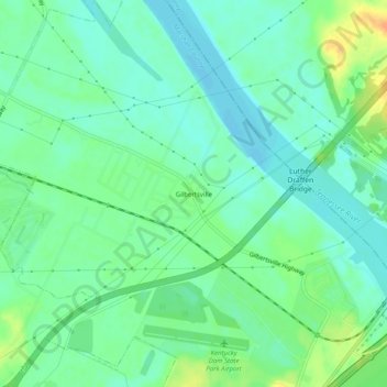
Nome: Mapa topográfico Gilbertsville, altitude, relevo.
Local: Gilbertsville, Marshall County, Kentucky, United States (37.00450 -88.31976 37.04450 -88.27976)
Altitude média: 104 m
Altitude mínima: 92 m
Altitude máxima: 128 m
Outros mapas topográficos
Clique em um mapa para visualizar sua topografia, sua altitude e seu relevo.
Scale
United States > Kentucky > Marshall County
Scale, Marshall County, Kentucky, 42025, United States
Altitude média: 129 m
Marshall County
United States > Kentucky > Marshall County
Marshall County, Kentucky, United States
Altitude média: 126 m