
Mapa topográfico Papago Park
Mapa interativo
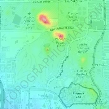
Clique no mapa para exibir a altitude.
Sobre este mapa
Nome: Mapa topográfico Papago Park, altitude, relevo.
Altitude média: 387 m
Altitude mínima: 357 m
Altitude máxima: 495 m
The Ponds have a surface area of 6 acres (2.4 ha) with an average depth of 8 ft (2.4 m), the elevation of the area is 1,100 ft (340 m).