
Mapa topográfico South Range
Mapa interativo
Clique no mapa para exibir a altitude.
Sobre este mapa
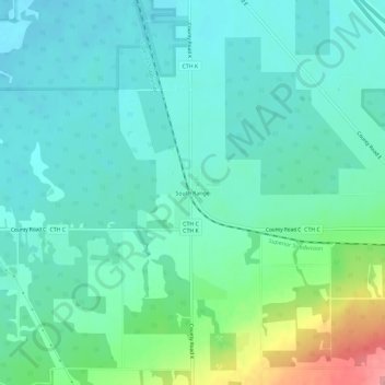
Nome: Mapa topográfico South Range, altitude, relevo.
Altitude média: 237 m
Altitude mínima: 214 m
Altitude máxima: 314 m
Outros mapas topográficos
Clique em um mapa para visualizar sua topografia, sua altitude e seu relevo.
Blueberry
United States > Wisconsin > Douglas County > Town of Maple
Blueberry, Town of Maple, Douglas County, Wisconsin, United States
Altitude média: 349 m
Hines
United States > Wisconsin > Douglas County
Hines, Town of Hawthorne, Douglas County, Wisconsin, 54874, United States
Altitude média: 333 m
City of Superior
United States > Wisconsin > Douglas County > City of Superior
City of Superior, Douglas County, Wisconsin, 54880, United States
Altitude média: 220 m