Geolocalizar

Mapa topográfico Aghghala

Mapa interativo

Clique no mapa para exibir a altitude.

Sobre este mapa

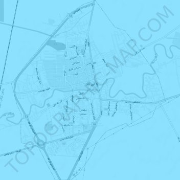
Nome: Mapa topográfico Aghghala, altitude, relevo.

Local: Aghghala, بخش مرکزی شهرستان آق قلا, Aqqala County, Golestan Province, 49319-33333, Iran (36.98842 54.43199 37.03520 54.48218)

Altitude média: -13 m

Altitude mínima: -16 m

Altitude máxima: -11 m

Outros mapas topográficos

Clique em um mapa para visualizar sua topografia, sua altitude e seu relevo.

دهستان مزرعه شمالی

Iran > Golestan Province > Aqqala County

دهستان مزرعه شمالی, بخش وشمگیر, Aqqala County, Golestan Province, Iran

Altitude média: -6 m

Fort, Great Wall of Gorgan

Iran > Golestan Province > Aqqala County > دهستان مزرعه شمالی > گوگ تپه ۱

Fort, Great Wall of Gorgan, گنبدکاووس - انبارآلوم - آق قلا, گوگ تپه ۱, دهستان مزرعه شمالی, بخش وشمگیر, Aqqala County, Golestan Province, Iran

Altitude média: 3 m