
Mapa topográfico Kuschkow
Mapa interativo
Clique no mapa para exibir a altitude.
Sobre este mapa
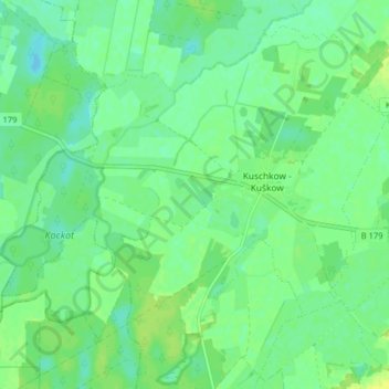
Nome: Mapa topográfico Kuschkow, altitude, relevo.
Altitude média: 46 m
Altitude mínima: 39 m
Altitude máxima: 55 m
Outros mapas topográficos
Clique em um mapa para visualizar sua topografia, sua altitude e seu relevo.
Pretschen - Mrocna
Deutschland > Brandenburg > Dahme-Spreewald > Märkische Heide
Pretschen - Mrocna, Märkische Heide, Dahme-Spreewald, Brandenburg, Deutschland
Altitude média: 47 m
Alt Schadow
Deutschland > Brandenburg > Dahme-Spreewald > Märkische Heide
Alt Schadow, Märkische Heide, Dahme-Spreewald, Brandenburg, Deutschland
Altitude média: 49 m
Groß Leuthen
Deutschland > Brandenburg > Dahme-Spreewald > Märkische Heide
Groß Leuthen, Märkische Heide, Dahme-Spreewald, Brandenburg, Deutschland
Altitude média: 51 m