
Mapa topográfico DeBolt
Mapa interativo
Clique no mapa para exibir a altitude.
Sobre este mapa
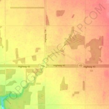
Nome: Mapa topográfico DeBolt, altitude, relevo.
Altitude média: 644 m
Altitude mínima: 599 m
Altitude máxima: 664 m
DeBolt is located in Peace Country, 58 km (36 mi) east from Grande Prairie and 54 km (34 mi) west of Valleyview along Highway 43. It lies in the Smoky River valley, at an elevation of 640 m (2,100 ft).
Outros mapas topográficos
Clique em um mapa para visualizar sua topografia, sua altitude e seu relevo.
Musreau Lake
Canada > Alberta > Municipal District of Greenview
Musreau Lake, Municipal District of Greenview, Alberta, Canada
Altitude média: 889 m
Kakwa Mountain
Canada > Alberta > Municipal District of Greenview
Kakwa Mountain, Municipal District of Greenview, Alberta, Canada
Altitude média: 1787 m
Little Smoky
Canada > Alberta > Municipal District of Greenview > Little Smoky
Little Smoky, Municipal District of Greenview, Alberta, Canada
Altitude média: 682 m