
Mapa topográfico городское поселение Николаевск-на-Амуре
Mapa interativo
Clique no mapa para exibir a altitude.
Sobre este mapa
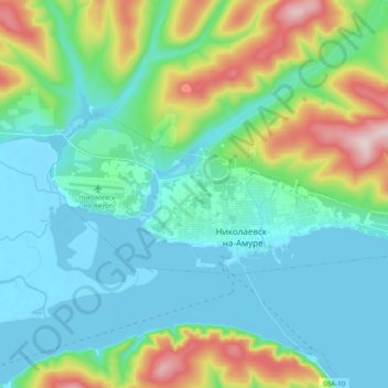
Nome: Mapa topográfico городское поселение Николаевск-на-Амуре, altitude, relevo.
Altitude média: 84 m
Altitude mínima: -7 m
Altitude máxima: 357 m