
Mapa topográfico Clipperton Island
Mapa interativo
Clique no mapa para exibir a altitude.
Sobre este mapa
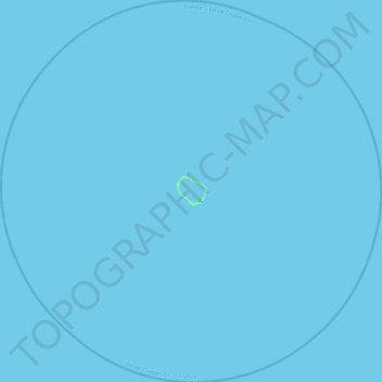
Nome: Mapa topográfico Clipperton Island, altitude, relevo.
Local: Clipperton Island, France (10.08424 -109.43869 10.52031 -108.99709)
Altitude média: 0 m
Altitude mínima: -1 m
Altitude máxima: 6 m
It is low-lying and largely barren, with some scattered grasses and a few clumps of coconut palms (Cocos nucifera). Land elevations average 2 m (6.6 ft), though a small volcanic outcrop rising to 29 m (95 ft) on its south-east side is considerably higher and is referred to as "Clipperton Rock". The surrounding reef is exposed at low tide. The presence of this rock means that technically Clipperton is not an atoll but an island with a barrier reef.