
Mapa topográfico Sloot
Mapa interativo
Clique no mapa para exibir a altitude.
Sobre este mapa
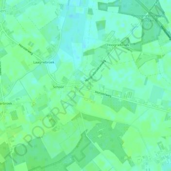
Nome: Mapa topográfico Sloot, altitude, relevo.
Local: Sloot, Venray, Limburg, Nederland (51.49580 6.00160 51.49695 6.00274)
Altitude média: 27 m
Altitude mínima: 22 m
Altitude máxima: 31 m
Outros mapas topográficos
Clique em um mapa para visualizar sua topografia, sua altitude e seu relevo.