
Mapa topográfico Sudeley Castle
Mapa interativo
Clique no mapa para exibir a altitude.
Sobre este mapa
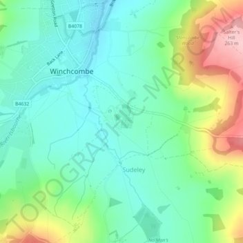
Nome: Mapa topográfico Sudeley Castle, altitude, relevo.
Altitude média: 135 m
Altitude mínima: 77 m
Altitude máxima: 269 m
His elevation almost certainly came from his assistance in the suppression of the Wyatt rebellion.