
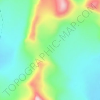
Mapa topográfico Tanggula Mountains
Mapa interativo
Clique no mapa para exibir a altitude.
Sobre este mapa
Nome: Mapa topográfico Tanggula Mountains, altitude, relevo.
Altitude média: 5912 m
Altitude mínima: 5811 m
Altitude máxima: 6149 m
The elevations of the main ridge average more than 5,000 m (16,404 ft). The Yangtze River originates in this mountain range; Geladandong, 6,621 metres or 21,722 feet high, located in Tanggula Town, is the tallest peak in the range.