
Mapa topográfico Medford Lakes
Mapa interativo
Clique no mapa para exibir a altitude.
Sobre este mapa
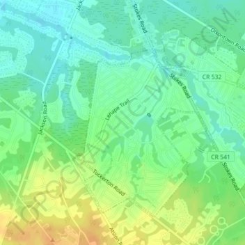
Nome: Mapa topográfico Medford Lakes, altitude, relevo.
Altitude média: 27 m
Altitude mínima: 17 m
Altitude máxima: 40 m
The borough experienced heavy damage on July 12, 2004, during a day which saw 7.26 inches (184 mm) of rain fall over a 14-hour period. The heavy rain caused a series of dam breaks and breaches in the surrounding areas of Southern New Jersey, which have since been replaced. Quogue Dam, as well as both Lower and Upper Aetna Lake Dams failed, with high water levels on portions of Ballinger Run exceeding 500-year flood elevations