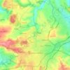
Mapa topográfico Hucknall
Clique no mapa para exibir a altitude.
Hucknall
Hucknall Airfield, built in 1916, became RAF Hucknall. From 1927, Rolls-Royce began using the airfield for flight tests. During World War II, the aerodrome at Hucknall launched the first flight of a P-51 Mustang fitted with a Rolls-Royce Merlin Engine. The Merlin, replacing the earlier Allison V-1710 engine, allowed the Mustang air frame to reach its full potential and achieve spectacular high-altitude performance.
Sobre este mapa
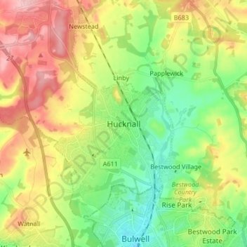
Nome: Mapa topográfico Hucknall, altitude, relevo.
Altitude média: 104 m
Altitude mínima: 44 m
Altitude máxima: 186 m
Outros mapas topográficos
Clique em um mapa para visualizar sua topografia, sua altitude e seu relevo.
Sutton Lawn
United Kingdom > England > Nottinghamshire > Ashfield > Sutton-in-Ashfield
Altitude média: 155 m
Sutton in Ashfield
United Kingdom > England > Nottinghamshire > Ashfield > Stanton Hill
Altitude média: 154 m