
Mapa topográfico Gerlach
Mapa interativo
Clique no mapa para exibir a altitude.
Sobre este mapa
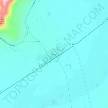
Nome: Mapa topográfico Gerlach, altitude, relevo.
Local: Gerlach, Washoe County, Nevada, 89412, United States (40.63181 -119.37626 40.67181 -119.33626)
Altitude média: 1208 m
Altitude mínima: 1171 m
Altitude máxima: 1510 m
According to the United States Census Bureau, the Gerlach CDP has a total area of 3.1 square miles (8.0 km2), all land. Its elevation is 3,944 ft (1,202 m). Gerlach is approximately 100 miles (160 km) north of Reno, Nevada.