Mapa topográfico Jesus Lever-steinen
Mapa interativo
Clique no mapa para exibir a altitude.
Sobre este mapa
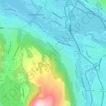
Nome: Mapa topográfico Jesus Lever-steinen, altitude, relevo.
Altitude média: 100 m
Altitude mínima: -1 m
Altitude máxima: 469 m

Clique no mapa para exibir a altitude.
Nome: Mapa topográfico Jesus Lever-steinen, altitude, relevo.
Altitude média: 100 m
Altitude mínima: -1 m
Altitude máxima: 469 m