
Mapa topográfico Piz Vadret
Mapa interativo
Clique no mapa para exibir a altitude.
Sobre este mapa
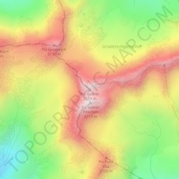
Nome: Mapa topográfico Piz Vadret, altitude, relevo.
Altitude média: 2824 m
Altitude mínima: 2426 m
Altitude máxima: 3190 m
Piz Vadret is a mountain of the Albula Alps, in Graubünden. With an altitude of 3,229 metres above sea level, Piz Vadret is the highest mountain of the Albula Alps north of Piz Kesch. At the base of the north face lies a glacier named Vadret da Grialetsch. The closest locality is Brail, in the Engadin.