
Mapa topográfico Arrah
Mapa interativo
Clique no mapa para exibir a altitude.
Sobre este mapa
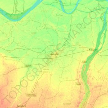
Nome: Mapa topográfico Arrah, altitude, relevo.
Local: Arrah, Bhojpur District, Bihar, 802300, India (25.40032 84.50321 25.72032 84.82321)
Altitude média: 59 m
Altitude mínima: 43 m
Altitude máxima: 73 m
Arrah is located at the elevation of 192 m from the sea level at the bank of Son river, Ganga River and Gangi River. Arrah lies at the confluence of the Ganga and the Son River, other small rivers that flow in the town are Gangi River, Badki Nadi and Chhotki Nadi.