
Mapa topográfico Unter-Seibertenrod
Mapa interativo
Clique no mapa para exibir a altitude.
Sobre este mapa
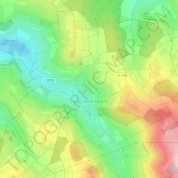
Nome: Mapa topográfico Unter-Seibertenrod, altitude, relevo.
Altitude média: 416 m
Altitude mínima: 324 m
Altitude máxima: 540 m
Die Statistisch-topographisch-historische Beschreibung des Großherzogthums Hessen berichtet 1830 über Unter-Seibertenrod: