
Mapa topográfico Craigston
Clique no mapa para exibir a altitude.
Sobre este mapa
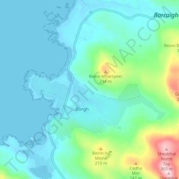
Nome: Mapa topográfico Craigston, altitude, relevo.
Altitude média: 66 m
Altitude mínima: -3 m
Altitude máxima: 373 m
Outros mapas topográficos
Clique em um mapa para visualizar sua topografia, sua altitude e seu relevo.
Barra
United Kingdom > Scotland > Western Isles > Borve
The highest elevation on the island is Heaval, near the top of which is a prominent white marble statue of the Madonna and Child, called "Our Lady of the Sea", which was erected during the Marian year of 1954. The predominant faith on the island is Catholicism and the Catholic church dedicated to Our Lady of…
Altitude média: 27 m