
Mapa topográfico Baran
Mapa interativo
Clique no mapa para exibir a altitude.
Baran
Baran is located at 25°06′N 76°31′E / 25.1°N 76.52°E / 25.1; 76.52. It has an average elevation of 262 metres (859 ft). It is surrounded by three Rivers Kalisindh, Parvati and Parban. The city is situated on the border of Rajasthan and Madhya Pradesh.
Sobre este mapa
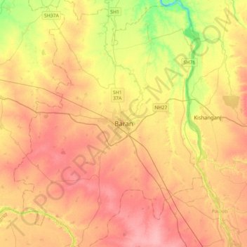
Nome: Mapa topográfico Baran, altitude, relevo.
Local: Baran, Baran Tehsil, Baran District, Rajasthan, 325205, India (24.93819 76.35699 25.25819 76.67699)
Altitude média: 264 m
Altitude mínima: 212 m
Altitude máxima: 300 m