
Mapa topográfico Gieterveen
Mapa interativo
Clique no mapa para exibir a altitude.
Sobre este mapa
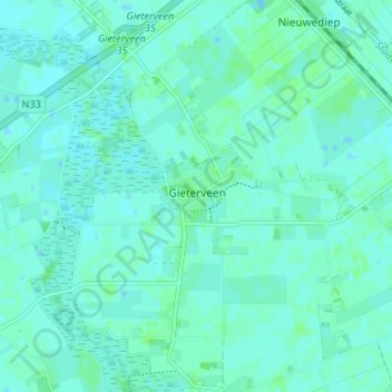
Nome: Mapa topográfico Gieterveen, altitude, relevo.
Local: Gieterveen, Aa en Hunze, Drenthe, Nederland, 9511, Nederland (53.00593 6.81627 53.04593 6.85627)
Altitude média: 4 m
Altitude mínima: 1 m
Altitude máxima: 7 m