
Mapa topográfico Filisur
Mapa interativo
Clique no mapa para exibir a altitude.
Sobre este mapa
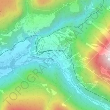
Nome: Mapa topográfico Filisur, altitude, relevo.
Local: Filisur, Bergün Filisur, Albula, Grisons, 7477, Switzerland (46.65378 9.66597 46.69378 9.70597)
Altitude média: 1319 m
Altitude mínima: 949 m
Altitude máxima: 2137 m
Before 2017, the municipality was located in the Bergün subdistrict of the Albula district, since 2017 it is part of the Albula Region. It consists of the village of Filisur and the hamlet of Jenisberg at an elevation of 1,504 m (4,934 ft).