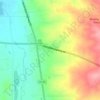
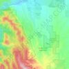
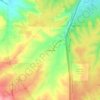
Mapa topográfico Parker
Clique no mapa para exibir a altitude.
Parker
Parker is located in northeastern Douglas County. Its northernmost border follows the Arapahoe County line, and the city of Aurora touches the town's northeast border. The center of Parker is 23 miles (37 km) southeast of downtown Denver. Castle Rock, the Douglas County seat, is 15 miles (24 km) to the southwest. Unincorporated communities that border Parker are Dove Valley to the northwest, Stonegate to the west, and The Pinery to the south. Parker sits at an elevation of 5,900 feet above sea level.
Sobre este mapa
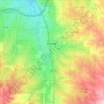
Nome: Mapa topográfico Parker, altitude, relevo.
Local: Parker, Douglas County, Colorado, 80134, United States (39.45309 -104.82166 39.56596 -104.70849)
Altitude média: 1845 m
Altitude mínima: 1740 m
Altitude máxima: 1997 m
Outros mapas topográficos
Clique em um mapa para visualizar sua topografia, sua altitude e seu relevo.