
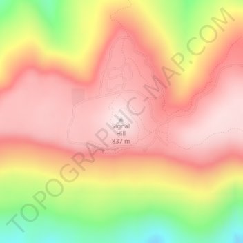
Mapa topográfico Mount Magazine State Park
Mapa interativo
Clique no mapa para exibir a altitude.
Sobre este mapa
Nome: Mapa topográfico Mount Magazine State Park, altitude, relevo.
Altitude média: 667 m
Altitude mínima: 373 m
Altitude máxima: 839 m
There also exist many opportunities for ATV riding, backpacking, hang gliding, mountain biking, rappelling, and rock climbing within the park. The park hosts the annual Mount Magazine International Butterfly Festival, and is a haven for many rare species of butterflies in Arkansas due to the special blend of altitude and temperature available. The state butterfly, the Diana fritillary, is found almost exclusively in the Arkansas River Valley and the Petit Jean River Valley.
Outros mapas topográficos
Clique em um mapa para visualizar sua topografia, sua altitude e seu relevo.
Booneville
United States > Arkansas > Logan County
Booneville, Logan County, Arkansas, 72927, United States
Altitude média: 153 m
Saint Scholastica
United States > Arkansas > Logan County
Saint Scholastica, Logan County, Arkansas, 72851, United States
Altitude média: 142 m
Driggs
United States > Arkansas > Logan County
Driggs, Logan County, Arkansas, United States
Altitude média: 227 m
Paris
United States > Arkansas > Logan County
Paris, Logan County, Arkansas, 72855, United States
Altitude média: 165 m