
Mapa topográfico Little Cottonwood Creek Valley
Mapa interativo
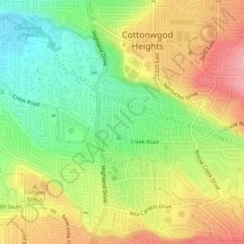
Clique no mapa para exibir a altitude.
Sobre este mapa
Nome: Mapa topográfico Little Cottonwood Creek Valley, altitude, relevo.
Altitude média: 1437 m
Altitude mínima: 1378 m
Altitude máxima: 1500 m