
Mapa topográfico Holl
Mapa interativo
Clique no mapa para exibir a altitude.
Sobre este mapa
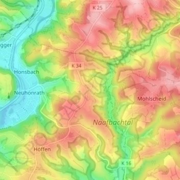
Nome: Mapa topográfico Holl, altitude, relevo.
Altitude média: 165 m
Altitude mínima: 75 m
Altitude máxima: 249 m
Holl liegt im Nordosten des Stadtgebiets von Lohmar. Umliegende Ortschaften und Weiler sind Kern im Norden, Kuckenbach im Südosten, Oberstehöhe im Süden, Grünenborn im Südwesten, Neuhonrath im Westen, Hähngen und Hohnenberg im Nordwesten.