
Mapa topográfico Nuku Hiva
Mapa interativo
Clique no mapa para exibir a altitude.
Sobre este mapa
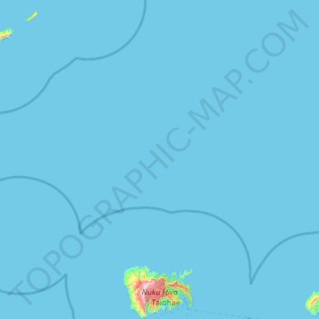
Nome: Mapa topográfico Nuku Hiva, altitude, relevo.
Altitude média: 10 m
Altitude mínima: 0 m
Altitude máxima: 1199 m
On the western edge of To'ovi'i rises Tekao, the island's highest peak, which reaches an elevation of 1224 m (4,016 ft). The western and northern edges of To'ovi'i are a mountain ridge, which catches much of the rain that waters the island.