
Mapa topográfico Mont Agel
Mapa interativo
Clique no mapa para exibir a altitude.
Sobre este mapa
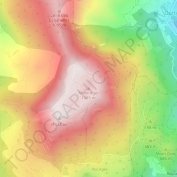
Nome: Mapa topográfico Mont Agel, altitude, relevo.
Altitude média: 790 m
Altitude mínima: 313 m
Altitude máxima: 1135 m
Mont Agel is a mountain on the border between France and Monaco. The summit of this mount, at 1,148 metres (3,766 ft) above sea level, is on the French side, but the highest point of Monaco, lying on a pathway named Chemin des Révoires, is on its slopes, at an altitude of 161 metres (528 feet).