
Mapa topográfico Naharlagun
Mapa interativo
Clique no mapa para exibir a altitude.
Sobre este mapa
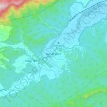
Nome: Mapa topográfico Naharlagun, altitude, relevo.
Altitude média: 255 m
Altitude mínima: 119 m
Altitude máxima: 1096 m
It is at an altitude of 155 metres from sea level.[citation needed] Surrounded by mountains, Naharlagun is a city which sees annual long monsoon rains. The weather is sub-tropical, with hot and humid summer and temperate winter.