
Mapa topográfico The Municipal District of Kilkenny City
Mapa interativo
Clique no mapa para exibir a altitude.
Sobre este mapa
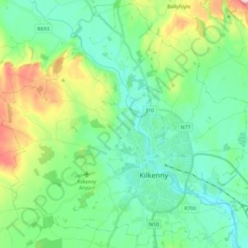
Nome: Mapa topográfico The Municipal District of Kilkenny City, altitude, relevo.
Altitude média: 84 m
Altitude mínima: 35 m
Altitude máxima: 220 m