
Mapa topográfico Shanksville
Mapa interativo
Clique no mapa para exibir a altitude.
Sobre este mapa
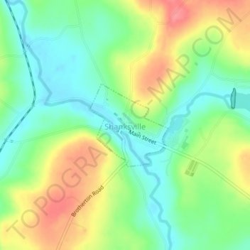
Nome: Mapa topográfico Shanksville, altitude, relevo.
Altitude média: 702 m
Altitude mínima: 670 m
Altitude máxima: 749 m
Shanksville is located at 40°1′2″N 78°54′21″W / 40.01722°N 78.90583°W / 40.01722; -78.90583 (40.017182, -78.905891), with the borough covering 0.2 square mile (0.5 km2), all land; it also has the seventh-highest elevation of boroughs in Pennsylvania at 2,230 feet (680 m).