
Mapa topográfico Gangani - The Grand Canyon Of Bengal
Mapa interativo
Clique no mapa para exibir a altitude.
Sobre este mapa
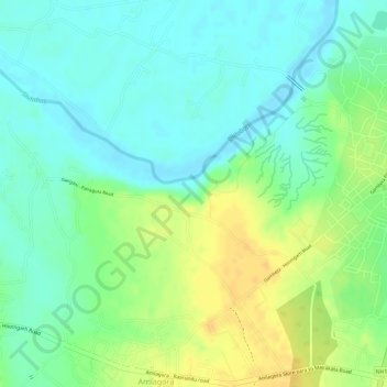
Nome: Mapa topográfico Gangani - The Grand Canyon Of Bengal, altitude, relevo.
Altitude média: 46 m
Altitude mínima: 32 m
Altitude máxima: 63 m