
Mapa topográfico Tide
Mapa interativo
Clique no mapa para exibir a altitude.
Tide
Tidal constituents are the net result of multiple influences impacting tidal changes over certain periods of time. Primary constituents include the Earth's rotation, the position of the Moon and Sun relative to the Earth, the Moon's altitude (elevation) above the Earth's Equator, and bathymetry. Variations with periods of less than half a day are called harmonic constituents. Conversely, cycles of days, months, or years are referred to as long period constituents.
Sobre este mapa
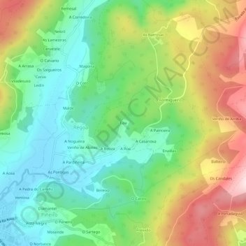
Nome: Mapa topográfico Tide, altitude, relevo.
Local: Tide, Comarca de Ferrol, A Coruña, Galicia, 15358, Spain (43.65735 -8.04322 43.69735 -8.00322)
Altitude média: 166 m
Altitude mínima: 2 m
Altitude máxima: 432 m