
Mapa topográfico Kopernik Observatory & Science Center
Mapa interativo
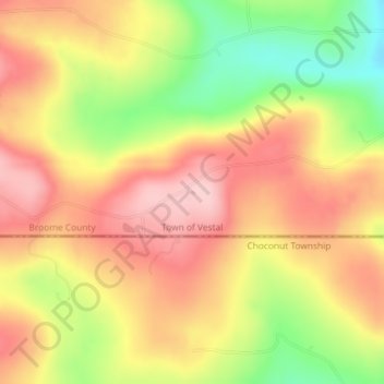
Clique no mapa para exibir a altitude.
Sobre este mapa
Nome: Mapa topográfico Kopernik Observatory & Science Center, altitude, relevo.
Altitude média: 452 m
Altitude mínima: 340 m
Altitude máxima: 532 m