
Mapa topográfico Chartres Cathedral
Mapa interativo
Clique no mapa para exibir a altitude.
Sobre este mapa
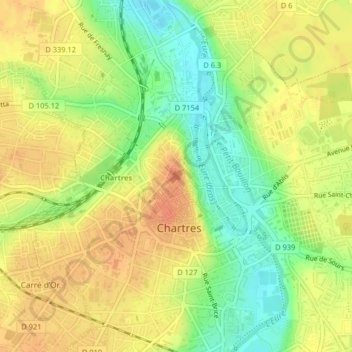
Nome: Mapa topográfico Chartres Cathedral, altitude, relevo.
Altitude média: 148 m
Altitude mínima: 123 m
Altitude máxima: 165 m
The elevation of the nave, showing the gallery on the ground level; the narrow triforium; and, on top, the windows of the clerestory