
Mapa topográfico Newland
Mapa interativo
Clique no mapa para exibir a altitude.
Sobre este mapa
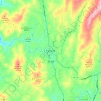
Nome: Mapa topográfico Newland, altitude, relevo.
Local: Newland, Avery County, North Carolina, 28653, United States (36.04735 -81.96734 36.12735 -81.88734)
Altitude média: 1199 m
Altitude mínima: 987 m
Altitude máxima: 1535 m
At an elevation of 3,621 feet or 1,104 metres, it is the highest county seat in the Eastern United States (based on elevations in the USGS database).