
Mapa topográfico Roter Hügel, Herzoghöhe, Kreuz
Mapa interativo
Clique no mapa para exibir a altitude.
Sobre este mapa
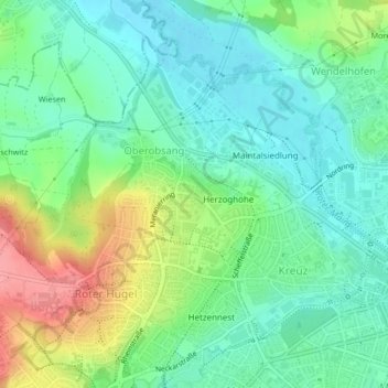
Nome: Mapa topográfico Roter Hügel, Herzoghöhe, Kreuz, altitude, relevo.
Altitude média: 357 m
Altitude mínima: 324 m
Altitude máxima: 425 m