
Mapa topográfico Tafresh
Mapa interativo
Clique no mapa para exibir a altitude.
Sobre este mapa
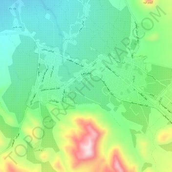
Nome: Mapa topográfico Tafresh, altitude, relevo.
Altitude média: 1956 m
Altitude mínima: 1824 m
Altitude máxima: 2233 m
The flight distance between Tehran and Tafresh is 170 km towards southwest. The average altitude of Tafresh is 1912 meters above sea level, with a continental and semi-arid climate with an annual rainfall of 270 mm.