
Mapa topográfico Tai Lam Chung Catchwater Section M
Mapa interativo
Clique no mapa para exibir a altitude.
Sobre este mapa
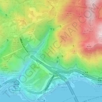
Nome: Mapa topográfico Tai Lam Chung Catchwater Section M, altitude, relevo.
Altitude média: 181 m
Altitude mínima: -2 m
Altitude máxima: 443 m