
Mapa topográfico Ashland
Mapa interativo
Clique no mapa para exibir a altitude.
Sobre este mapa
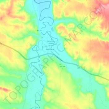
Nome: Mapa topográfico Ashland, altitude, relevo.
Altitude média: 940 m
Altitude mínima: 879 m
Altitude máxima: 1039 m
The area offers a variety of topography, varying from rolling grasslands to steep rock outcrops. Vegetation varies from prairie to dense stands of ponderosa pine.