
Mapa topográfico Glasshouse
Clique no mapa para exibir a altitude.
Sobre este mapa
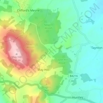
Nome: Mapa topográfico Glasshouse, altitude, relevo.
Altitude média: 110 m
Altitude mínima: 20 m
Altitude máxima: 303 m
Outros mapas topográficos
Clique em um mapa para visualizar sua topografia, sua altitude e seu relevo.
Newent Woods
United Kingdom > England > Gloucestershire > Forest of Dean > May Hill
Altitude média: 157 m