
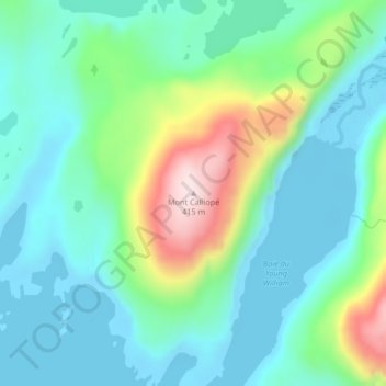
Mapa topográfico Mount Calliope
Mapa interativo
Clique no mapa para exibir a altitude.
Sobre este mapa
Nome: Mapa topográfico Mount Calliope, altitude, relevo.
Altitude média: 102 m
Altitude mínima: -3 m
Altitude máxima: 400 m
Outros mapas topográficos
Clique em um mapa para visualizar sua topografia, sua altitude e seu relevo.
Juan de Nova Island
France > French Southern and Antarctic Lands
Juan de Nova Island, Scattered Islands in the Indian Ocean, French Southern and Antarctic Lands, France
Altitude média: 0 m
Port-aux-Français
France > French Southern and Antarctic Lands
Port-aux-Français, Kerguelen Archipelago, French Southern and Antarctic Lands, France
Altitude média: 14 m
Possession Island
France > French Southern and Antarctic Lands
Possession Island, French Southern and Antarctic Lands, France
Altitude média: 13 m
Mont de la Dives
France > French Southern and Antarctic Lands
Mont de la Dives, Saint Paul and New Amsterdam Islands, French Southern and Antarctic Lands, France
Altitude média: 656 m
Kerguelen Archipelago
France > French Southern and Antarctic Lands
Kerguelen Archipelago, French Southern and Antarctic Lands, France
Altitude média: 38 m
New Amsterdam Island
France > French Southern and Antarctic Lands
New Amsterdam Island, Saint Paul and New Amsterdam Islands, French Southern and Antarctic Lands, France
Altitude média: 6 m
Penguin Island
France > French Southern and Antarctic Lands
Penguin Island, French Southern and Antarctic Lands, France
Altitude média: 46 m