
Mapa topográfico Saint-Christophe-en-Boucherie
Mapa interativo
Clique no mapa para exibir a altitude.
Sobre este mapa
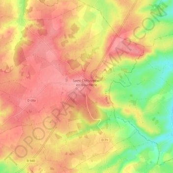
Nome: Mapa topográfico Saint-Christophe-en-Boucherie, altitude, relevo.
Altitude média: 237 m
Altitude mínima: 178 m
Altitude máxima: 275 m