
Mapa topográfico Hunsel
Mapa interativo
Clique no mapa para exibir a altitude.
Sobre este mapa
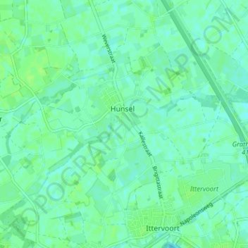
Nome: Mapa topográfico Hunsel, altitude, relevo.
Local: Hunsel, Leudal, Limburg, Nederland (51.17015 5.77993 51.20385 5.84295)
Altitude média: 30 m
Altitude mínima: 26 m
Altitude máxima: 34 m
Hunsel ligt aan de Uffelse Beek, welke in oostelijke richting stroomt. De hoogte van Hunsel is ongeveer 29 meter. Ten oosten van Hunsel ligt het Kanaal Wessem-Nederweert. Hunsel wordt omgeven door landbouwgrond, terwijl langs de Uffelse Beek en enkele kleinere beken ten noorden van Hunsel, enig broekbos ligt.
Outros mapas topográficos
Clique em um mapa para visualizar sua topografia, sua altitude e seu relevo.