
Mapa topográfico Draper
Mapa interativo
Clique no mapa para exibir a altitude.
Sobre este mapa
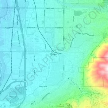
Nome: Mapa topográfico Draper, altitude, relevo.
Local: Draper, Salt Lake County, Utah, 84020, United States (40.48478 -111.90280 40.56478 -111.82280)
Altitude média: 1464 m
Altitude mínima: 1313 m
Altitude máxima: 2333 m
Draper's climate is roughly identical to that of other Salt Lake City suburbs. However, due to being further away from the Great Salt Lake, varied elevation, and from the downtown urban heat island effect, Draper experiences a slightly drier winter, and more extremes in temperatures.