
Mapa topográfico Whapmagoostui (Category I Land)
Mapa interativo
Clique no mapa para exibir a altitude.
Sobre este mapa
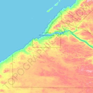
Nome: Mapa topográfico Whapmagoostui (Category I Land), altitude, relevo.
Altitude média: 91 m
Altitude mínima: -1 m
Altitude máxima: 258 m