
Mapa topográfico Nieuwolda
Mapa interativo
Clique no mapa para exibir a altitude.
Sobre este mapa
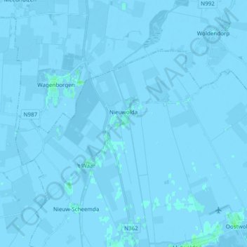
Nome: Mapa topográfico Nieuwolda, altitude, relevo.
Local: Nieuwolda, Oldambt, Groningen, Nederland (53.21394 6.92864 53.26714 7.07974)
Altitude média: -1 m
Altitude mínima: -7 m
Altitude máxima: 4 m
In Nieuwolda bevindt zich het museumgemaal De Hoogte dat door een historische Bronsmotor wordt aangedreven. Het kinderwagenmuseum is gevestigd in een monumentale boerderij uit ± 1750 (schuur) resp. 1905 (voorhuis). Ten noordwesten van Nieuwolda ligt sinds 1980 het Hondshalstermeer. Door het dorp loopt de Internationale Dollardroute voor fietsers. Langs Nieuwolda loopt de N362.
Outros mapas topográficos
Clique em um mapa para visualizar sua topografia, sua altitude e seu relevo.
Nieuw Beerta
Nederland > Groningen > Oldambt
Nieuw Beerta, Oldambt, Groningen, Nederland
Altitude média: -2 m
Nieuw Scheemda
Nederland > Groningen > Oldambt
Nieuw Scheemda, Oldambt, Groningen, Nederland
Altitude média: -1 m
Winschoterdiep
Nederland > Groningen > Oldambt
Winschoterdiep, Oldambt, Groningen, Nederland, 9636AL, Nederland
Altitude média: 0 m