
Mapa topográfico Zahedan
Mapa interativo
Clique no mapa para exibir a altitude.
Sobre este mapa
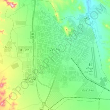
Nome: Mapa topográfico Zahedan, altitude, relevo.
Altitude média: 1416 m
Altitude mínima: 1307 m
Altitude máxima: 1721 m
Zahedan is connected by rail to nearby Pakistan and is near to Afghanistan. It is about 41 km (25 mi) south of the tripoint of the three countries and at an altitude of 1,352 m (4,436 ft) above sea level and 1,605 km (997 mi) from the Iranian capital of Tehran.