
Mapa topográfico Vandalur
Mapa interativo
Clique no mapa para exibir a altitude.
Vandalur
Vandalur hill is part of Arignar Anna Zoological Park and public entry to the hill is restricted. The hilltop provides a good view of the OMR and Mannivakam. The Tamil Nadu Forest department has a sapling center under the foothill of Vandalur hill. The run has a total ascent of 274.99 ft and has a maximum elevation of 484.97 ft.
Sobre este mapa
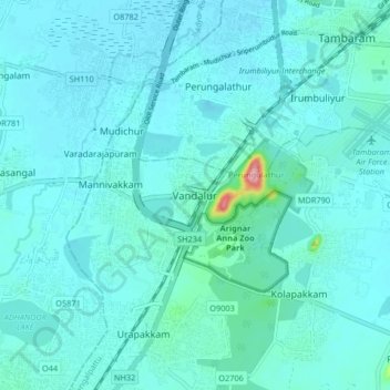
Nome: Mapa topográfico Vandalur, altitude, relevo.
Altitude média: 27 m
Altitude mínima: 13 m
Altitude máxima: 160 m